
File:East Ayrshire UK location map.svg

此SVG文件的PNG预览的大小:403 × 599像素。 其他分辨率:161 × 240像素 | 323 × 480像素 | 517 × 768像素 | 689 × 1,024像素 | 1,378 × 2,048像素 | 905 × 1,345像素。
原始文件 (SVG文件,尺寸为905 × 1,345像素,文件大小:1.38 MB)
文件历史
点击某个日期/时间查看对应时刻的文件。
| 日期/时间 | 缩略图 | 大小 | 用户 | 备注 | |
|---|---|---|---|---|---|
| 当前 | 2010年9月26日 (日) 20:30 | | 905 × 1,345(1.38 MB) | Nilfanion | tweak m-way colour |
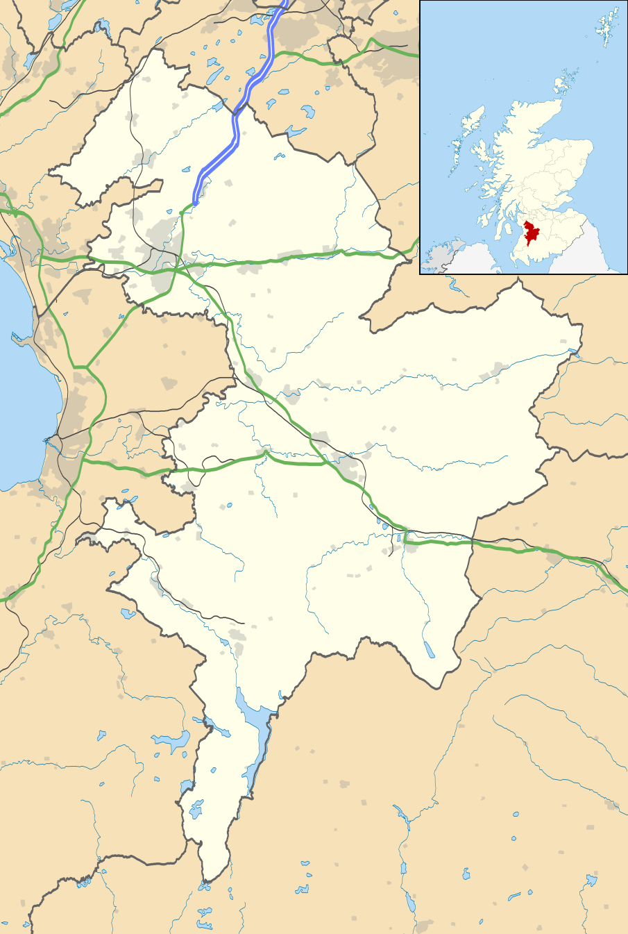
| 2010年9月26日 (日) 20:09 |  | 905 × 1,345(1.38 MB) | Nilfanion | {{Information |Description=Blank map of East Ayrshire, UK with the following information shown: *Administrative borders *Coastline, lakes and rivers *Roads and railways *Urban areas Equirectangular map projection on WGS 84 datum, with |
文件用途
以下2个页面使用本文件:
全域文件用途
以下其他wiki使用此文件:
- ar.wikipedia.org上的用途
- bg.wikipedia.org上的用途
- ceb.wikipedia.org上的用途
- de.wikipedia.org上的用途
- en-two.iwiki.icu上的用途
- East Ayrshire
- Kilmarnock
- Cumnock
- Loudoun
- Newmilns
- Rugby Park
- Galston, East Ayrshire
- Auchinleck
- Auchinleck House
- Sorn, East Ayrshire
- Drongan
- Hurlford
- Darvel
- Fenwick, East Ayrshire
- Stewarton
- Patna, East Ayrshire
- Ochiltree
- Catrine
- Mauchline
- Kilmaurs
- Dalmellington
- Moscow, East Ayrshire
- Glenbuck
- Rankinston
- New Cumnock
- Dunlop, East Ayrshire
- Lugton
- Muirkirk
- Polnessan
- Skares
- Gatehead, East Ayrshire
- New Farm Loch
- Rowallan Castle
- Dumfries House
- University Hospital Crosshouse
- Auchmillan
- Back Rogerton
- Crosshouse
- Riccarton, East Ayrshire
- Montgreenan
- Bellsbank
- Kilmarnock Infirmary
- Kirklandside Hospital
- Logan, East Ayrshire
查看此文件的更多全域用途。