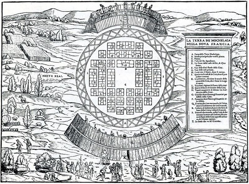
File:Map of Hochelaga.jpg
外观

本预览的尺寸:800 × 591像素。 其他分辨率:320 × 236像素 | 640 × 473像素 | 1,024 × 757像素 | 1,229 × 908像素。
原始文件 (1,229 × 908像素,文件大小:381 KB,MIME类型:image/jpeg)
文件历史
点击某个日期/时间查看对应时刻的文件。
| 日期/时间 | 缩略图 | 大小 | 用户 | 备注 | |
|---|---|---|---|---|---|
| 当前 | 2012年10月12日 (五) 00:44 |  | 1,229 × 908(381 KB) | Jeangagnon | rotation + retouches |
| 2012年10月11日 (四) 22:51 |  | 1,248 × 922(462 KB) | Jeangagnon | plus haute résolution | |
| 2007年4月2日 (一) 23:58 |  | 748 × 562(206 KB) | Soul scanner~commonswiki | == Summary == {{Information |Description = Woodcut engraving of Hochelaga published in Venice by Ramusio. Based on account of Jacque Cartier. |Source = [http://www.collectionscanada.ca/maps/3_0_exp/05140316_e.html National Archives of Canada] |Date = bet |
文件用途
以下页面使用本文件:
全域文件用途
以下其他wiki使用此文件:
- af.wikipedia.org上的用途
- bg.wikipedia.org上的用途
- ca.wikipedia.org上的用途
- en-two.iwiki.icu上的用途
- eo.wikipedia.org上的用途
- es.wikipedia.org上的用途
- fr.wikipedia.org上的用途
- Histoire du Québec
- Indes occidentales françaises
- Mont Royal
- Portail:Nouvelle-France/Image du mois/Archives
- Giovanni Battista Ramusio
- Giacomo Gastaldi
- Discussion utilisateur:Iluvalar/Archive2
- Portail:Nouvelle-France/Image du mois/Archives/092009
- Discussion:Montréal/Refonte août 2011
- Histoire des Premières Nations du Canada
- Utilisateur:Nort123/Brouillon
- gl.wikipedia.org上的用途
- it.wikipedia.org上的用途
- oc.wikipedia.org上的用途
- pt.wikipedia.org上的用途
- ro.wikipedia.org上的用途
- sr.wikipedia.org上的用途


