File:ClearwaterLakes.jpg
外观

本预览的尺寸:800 × 600像素。 其他分辨率:320 × 240像素 | 640 × 480像素 | 1,024 × 768像素。
原始文件 (1,024 × 768像素,文件大小:415 KB,MIME类型:image/jpeg)
文件历史
点击某个日期/时间查看对应时刻的文件。
| 日期/时间 | 缩略图 | 大小 | 用户 | 备注 | |
|---|---|---|---|---|---|
| 当前 | 2013年2月15日 (五) 03:42 |  | 1,024 × 768(415 KB) | Sneeuwschaap | correction of brightness levels |
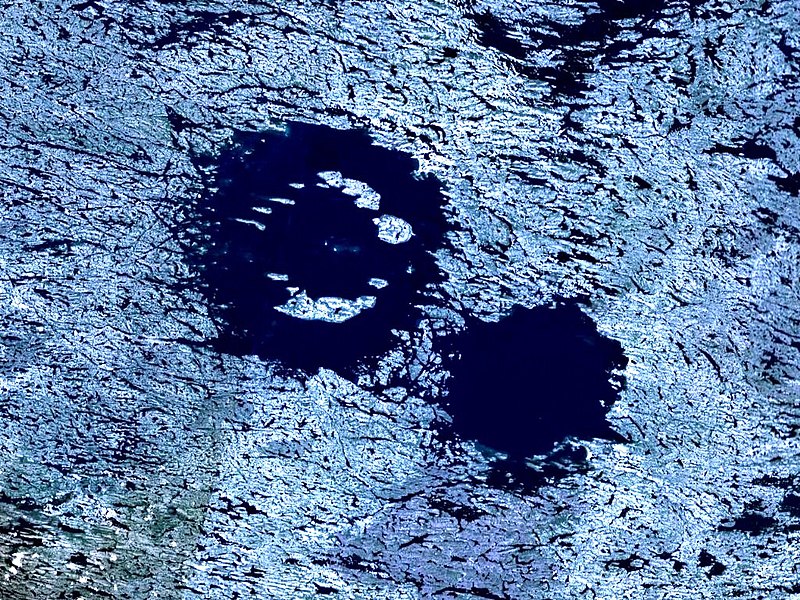
| 2006年1月8日 (日) 00:00 |  | 1,024 × 768(379 KB) | Vesta~commonswiki | *'''Description:'''Clearwater Lakes double impact crater in Quebec, Canada. *'''Source:''' Created with NASA WorldWind by User:Vesta using Landsat 7 (Visible Color) satellite image. {{PD-WorldWind}} |
文件用途
以下2个页面使用本文件:
全域文件用途
以下其他wiki使用此文件:
- arz.wikipedia.org上的用途
- bg.wikipedia.org上的用途
- ceb.wikipedia.org上的用途
- de.wikipedia.org上的用途
- eo.wikipedia.org上的用途
- es.wikipedia.org上的用途
- fr.wikipedia.org上的用途
- ru.wikipedia.org上的用途
- sv.wikipedia.org上的用途
- uk.wikipedia.org上的用途
- www.wikidata.org上的用途


