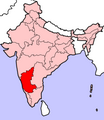
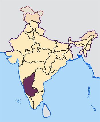
File:Karnataka in India.png
外观
Karnataka_in_India.png (200 × 231像素,文件大小:22 KB,MIME类型:image/png)
文件历史
点击某个日期/时间查看对应时刻的文件。
| 日期/时间 | 缩略图 | 大小 | 用户 | 备注 | |
|---|---|---|---|---|---|
| 当前 | 2024年12月24日 (二) 07:28 |  | 200 × 231(22 KB) | FireBreathMan | Reverted to version as of 07:21, 23 April 2005 (UTC) |
| 2005年4月23日 (六) 07:30 |  | 350 × 426(76 KB) | Nichalp | NPOV map | |
| 2005年4月23日 (六) 07:21 |  | 200 × 231(22 KB) | Kerpal | Reverted to earlier revision | |
| 2005年4月23日 (六) 06:22 |  | 500 × 608(120 KB) | Nichalp | Reverted to earlier revision | |
| 2005年4月23日 (六) 04:59 |  | 200 × 231(22 KB) | Kerpal | Reverted to earlier revision | |
| 2005年4月23日 (六) 04:54 |  | 500 × 608(120 KB) | Nichalp | Reverted to earlier revision | |
| 2005年4月22日 (五) 21:05 |  | 200 × 231(22 KB) | Kerpal | Reverted to earlier revision | |
| 2005年4月22日 (五) 13:42 |  | 500 × 608(120 KB) | Nichalp | Reverted to earlier revision | |
| 2005年4月22日 (五) 09:49 |  | 200 × 231(22 KB) | Kerpal | originally by en:User:Morwen | |
| 2005年4月21日 (四) 17:58 |  | 500 × 608(120 KB) | Nichalp | --- Map made by me, ~~~ --- Note: The Indian state of w:Jammu and Kashmir is claimed by w:India, w:Pakistan and the w:People's Republic of China. This map depicts the boundaries of the state as it was in 1947. Areas administered by India |
文件用途
以下2个页面使用本文件:
全域文件用途
以下其他wiki使用此文件:
- br.wikipedia.org上的用途
- bxr.wikipedia.org上的用途
- en-two.iwiki.icu上的用途
- incubator.wikimedia.org上的用途
- ka.wikipedia.org上的用途
- kn.wikipedia.org上的用途
- ಕರ್ನಾಟಕ ಲೋಕಸಭಾ ಚುನಾವಣೆ, ೨೦೦೪
- ಕರ್ನಾಟಕ ಲೋಕಸಭಾ ಚುನಾವಣೆ, ೨೦೦೯
- ಕರ್ನಾಟಕ ಲೋಕಸಭಾ ಚುನಾವಣೆ, ೧೯೯೯
- ಕರ್ನಾಟಕ ಲೋಕಸಭಾ ಚುನಾವಣೆ, ೧೯೭೭
- ಕರ್ನಾಟಕ ಲೋಕಸಭಾ ಚುನಾವಣೆ, ೧೯೮೦
- ಕರ್ನಾಟಕ ಲೋಕಸಭಾ ಚುನಾವಣೆ, ೧೯೮೪
- ಕರ್ನಾಟಕ ಲೋಕಸಭಾ ಚುನಾವಣೆ, ೧೯೮೯
- ಕರ್ನಾಟಕ ಲೋಕಸಭಾ ಚುನಾವಣೆ, ೧೯೯೧
- ಕರ್ನಾಟಕ ಲೋಕಸಭಾ ಚುನಾವಣೆ, ೧೯೯೬
- ಕರ್ನಾಟಕ ಲೋಕಸಭಾ ಚುನಾವಣೆ, ೧೯೯೮
- ಕರ್ನಾಟಕ ವಿಧಾನಸಭೆ ಚುನಾವಣೆ, ೨೦೧೮
- mr.wikipedia.org上的用途
- pl.wikipedia.org上的用途
- ta.wikipedia.org上的用途
- ta.wikinews.org上的用途
- te.wikipedia.org上的用途
- xmf.wikipedia.org上的用途


