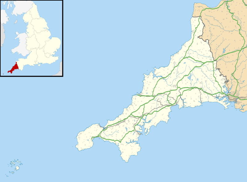
File:Cornwall UK location map.svg
外觀

此 SVG 檔案的 PNG 預覽的大小:800 × 588 像素。 其他解析度:320 × 235 像素 | 640 × 471 像素 | 1,024 × 753 像素 | 1,280 × 941 像素 | 2,560 × 1,883 像素 | 1,425 × 1,048 像素。
原始檔案 (SVG 檔案,表面大小:1,425 × 1,048 像素,檔案大小:1.66 MB)
檔案歷史
點選日期/時間以檢視該時間的檔案版本。
| 日期/時間 | 縮圖 | 尺寸 | 使用者 | 備註 | |
|---|---|---|---|---|---|
| 目前 | 2010年9月26日 (日) 18:43 |  | 1,425 × 1,048(1.66 MB) | Nilfanion | {{Information |Description=Map of Cornwall, UK with the following information shown: *Administrative borders *Coastline, lakes and rivers *Roads and railways *Urban areas Equirectangular map projection on WGS 84 datum, with N/S stretched 1 |
檔案用途
下列3個頁面有用到此檔案:
全域檔案使用狀況
以下其他 wiki 使用了這個檔案:
- ar.wikipedia.org 的使用狀況
- bg.wikipedia.org 的使用狀況
- ceb.wikipedia.org 的使用狀況
- en-two.iwiki.icu 的使用狀況
- List of lighthouses in England
- Tintagel Castle
- Chûn Castle
- Truro Cathedral
- Port Eliot
- Lanhydrock House
- Carn Brea, Redruth
- Runnel Stone
- RAF St Mawgan
- Jamaica Inn
- List of places in Cornwall
- Penryn Campus
- St Germans Priory
- Rillaton Barrow
- Roseland Peninsula
- Pendennis Castle
- Tregenna Castle
- Tregothnan
- Picklecombe Fort
- Restormel Castle
- Redruth transmitting station
- St Bartholomew's Church, Lostwithiel
- Caradon Hill transmitting station
- Goldsithney
- Mount Wellington Tin Mine
- Brisons
- Penlee Battery
- Newquay Airport
- Geevor Tin Mine
- Botallack Mine
- Pencarrow
- Camborne School of Mines
- Prideaux Place
- Cotehele
- Trerice
- Hawker's Hut
- The Hurlers (stone circles)
- Poldice mine
- Godolphin Estate
- Lawrence House, Launceston
- RAF Davidstow Moor
- Levant Mine and Beam Engine
- Trelissick
- Antony House
- Mount Edgcumbe House
- Trengwainton Garden
- Trevenson
檢視此檔案的更多全域使用狀況。

