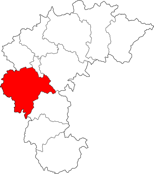
File:Map Cheongju-si.png
外觀

預覽大小:531 × 600 像素。 其他解析度:212 × 240 像素 | 425 × 480 像素 | 957 × 1,081 像素。
原始檔案 (957 × 1,081 像素,檔案大小:42 KB,MIME 類型:image/png)
檔案歷史
點選日期/時間以檢視該時間的檔案版本。
| 日期/時間 | 縮圖 | 尺寸 | 使用者 | 備註 | |
|---|---|---|---|---|---|
| 目前 | 2014年7月1日 (二) 01:54 |  | 957 × 1,081(42 KB) | CarrienStar | 배경 제거 |
| 2014年7月1日 (二) 01:52 |  | 957 × 1,081(40 KB) | CarrienStar | ||
| 2011年6月25日 (六) 01:22 |  | 301 × 274(4 KB) | Asfreeas | color and form match | |
| 2006年2月19日 (日) 02:54 |  | 301 × 278(6 KB) | Hyolee2 | sangdang-gu,heungdeok-gu | |
| 2004年12月21日 (二) 15:23 |  | 301 × 274(5 KB) | Visviva | Updated map to show Jeungpyeong. | |
| 2004年12月8日 (三) 20:40 |  | 300 × 273(4 KB) | Cinnamon~commonswiki | {{GFDL}}made from Maps of Korea |
檔案用途
沒有使用此檔案的頁面。
全域檔案使用狀況
以下其他 wiki 使用了這個檔案:
- fa.wikipedia.org 的使用狀況
- it.wikipedia.org 的使用狀況
- ja-two.iwiki.icu 的使用狀況
- ko.wikipedia.org 的使用狀況
- mn.wikipedia.org 的使用狀況
- nl.wikipedia.org 的使用狀況
- pl.wikipedia.org 的使用狀況
- tl.wikipedia.org 的使用狀況


