
File:South Korea location map with taebaek sobaek mountains and geum river marked.svg

此 SVG 檔案的 PNG 預覽的大小:635 × 599 像素。 其他解析度:254 × 240 像素 | 509 × 480 像素 | 814 × 768 像素 | 1,085 × 1,024 像素 | 2,171 × 2,048 像素 | 1,772 × 1,672 像素。
原始檔案 (SVG 檔案,表面大小:1,772 × 1,672 像素,檔案大小:376 KB)
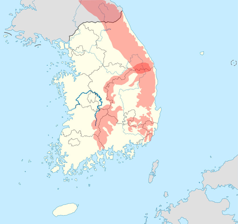
| 描述 | A map derived from File:South_Korea_location_map.svg. The two major mountains, Taebaek (태백산맥) and Sobaek (소백산맥) Mountains and the Geum River (금강), one of the three major rivers in South Korea, are marked specially so that they can be easily recognized on the map. This map is designed to be an alternative map to the default map (File:South_Korea_location_map.svg) for the w:Template:Location map South Korea. |
| 日期 | (UTC) |
| 來源 | |
| 作者 |
|
Related maps


Copyright information
| 這是一張修飾過的圖片,即本圖片是用軟體修改過後的版本。原版圖片來源:South Korea location map.svg。
|
我,本作品的著作權持有者,決定用以下授權條款發佈本作品:
此檔案採用創用CC 姓名標示-相同方式分享 3.0 未在地化版本授權條款。
- 您可以自由:
- 分享 – 複製、發佈和傳播本作品
- 重新修改 – 創作演繹作品
- 惟需遵照下列條件:
- 姓名標示 – 您必須指名出正確的製作者,和提供授權條款的連結,以及表示是否有對內容上做出變更。您可以用任何合理的方式來行動,但不得以任何方式表明授權條款是對您許可或是由您所使用。
- 相同方式分享 – 如果您利用本素材進行再混合、轉換或創作,您必須基於如同原先的相同或兼容的條款,來分布您的貢獻成品。

|
已授權您依據自由軟體基金會發行的無固定段落、封面文字和封底文字GNU自由文件授權條款1.2版或任意後續版本,對本檔進行複製、傳播和/或修改。該協議的副本列在GNU自由文件授權條款中。 |
您可以選擇您需要的授權條款。
原始上傳日誌
This image is a derivative work of the following images:
- File:South_Korea_location_map.svg licensed with Cc-by-sa-3.0, GFDL
- 2010-10-24T17:48:06Z NordNordWest 1772x1672 (386497 Bytes) upd
- 2010-10-02T20:05:03Z NordNordWest 1559x1672 (357245 Bytes) upd
- 2008-08-26T18:57:44Z NordNordWest 1559x1673 (513639 Bytes) {{Information |Description= {{de|Positionskarte von [[:de:Südkorea|Südkorea]]}} Quadratische Plattkarte, N-S-Streckung 120 %. Geographische Begrenzung der Karte: * N: 38.9° N * S: 33.0° N * W: 124.5° O * O: 131.1° O {{e
Uploaded with derivativeFX
檔案歷史
點選日期/時間以檢視該時間的檔案版本。
| 日期/時間 | 縮圖 | 尺寸 | 使用者 | 備註 | |
|---|---|---|---|---|---|
| 目前 | 2010年10月27日 (三) 01:26 | | 1,772 × 1,672(376 KB) | 배우는사람 | {{Information |Description=A map derived from File:South_Korea_location_map.svg. The two major mountains, Taebaek (태백산맥) and Sobaek (소백산맥) Mountains and the Geum River(금강), one of the three major rivers in South Korea, are marked |
檔案用途
下列頁面有用到此檔案:
全域檔案使用狀況
以下其他 wiki 使用了這個檔案:
- cs.wikipedia.org 的使用狀況
- en-two.iwiki.icu 的使用狀況
- es.wikipedia.org 的使用狀況
- fr.wikipedia.org 的使用狀況
- ja-two.iwiki.icu 的使用狀況
- ko.wikipedia.org 的使用狀況
- vi.wikipedia.org 的使用狀況