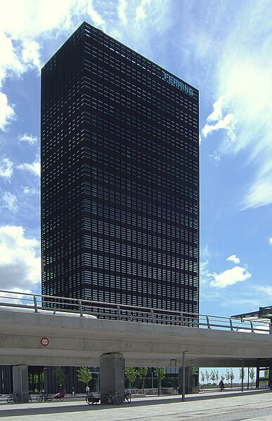
File:Ferring hoejhus Oerestad City.jpg
外觀

預覽大小:387 × 599 像素。 其他解析度:155 × 240 像素 | 310 × 480 像素 | 496 × 768 像素 | 661 × 1,024 像素 | 1,535 × 2,376 像素。
原始檔案 (1,535 × 2,376 像素,檔案大小:2.29 MB,MIME 類型:image/jpeg)
檔案歷史
點選日期/時間以檢視該時間的檔案版本。
| 日期/時間 | 縮圖 | 尺寸 | 使用者 | 備註 | |
|---|---|---|---|---|---|
| 目前 | 2020年11月21日 (六) 23:32 |  | 1,535 × 2,376(2.29 MB) | Marcos B. R. | Perspective corrected |
| 2008年11月26日 (三) 20:21 |  | 1,536 × 2,048(1.4 MB) | Froztbyte | {{Information |Description={{en|1='''Ferring Pharmaceuticals''' - the Danish branch of a international Pharmaceutical company. These office buildings located in Ørestad, Amager, Copenhagen.}} {{da|1='''Ferring Pharmaceuticals''' - the danske datt |
檔案用途
下列頁面有用到此檔案:
全域檔案使用狀況
以下其他 wiki 使用了這個檔案:
- da.wikipedia.org 的使用狀況
- de.wikipedia.org 的使用狀況
- en-two.iwiki.icu 的使用狀況
- fr.wikipedia.org 的使用狀況
- hy.wikipedia.org 的使用狀況
- it.wikipedia.org 的使用狀況
- kk.wikipedia.org 的使用狀況
- ko.wikipedia.org 的使用狀況
- ru.wikipedia.org 的使用狀況
- sv.wikipedia.org 的使用狀況
- www.wikidata.org 的使用狀況

