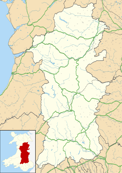
File:Powys UK location map.svg
外觀

此 SVG 檔案的 PNG 預覽的大小:424 × 599 像素。 其他解析度:170 × 240 像素 | 340 × 480 像素 | 544 × 768 像素 | 725 × 1,024 像素 | 1,450 × 2,048 像素 | 924 × 1,305 像素。
原始檔案 (SVG 檔案,表面大小:924 × 1,305 像素,檔案大小:1.75 MB)
檔案歷史
點選日期/時間以檢視該時間的檔案版本。
| 日期/時間 | 縮圖 | 尺寸 | 使用者 | 備註 | |
|---|---|---|---|---|---|
| 目前 | 2010年9月26日 (日) 19:41 |  | 924 × 1,305(1.75 MB) | Nilfanion | {{Information |Description=Blank map of Powys, UK with the following information shown: *Administrative borders *Coastline, lakes and rivers *Roads and railways *Urban areas Equirectangular map projection on WGS 84 datum, with N/S stretched |
檔案用途
下列頁面有用到此檔案:
全域檔案使用狀況
以下其他 wiki 使用了這個檔案:
- ar.wikipedia.org 的使用狀況
- azb.wikipedia.org 的使用狀況
- ca.wikipedia.org 的使用狀況
- ceb.wikipedia.org 的使用狀況
- cy.wikipedia.org 的使用狀況
- da.wikipedia.org 的使用狀況
- en-two.iwiki.icu 的使用狀況
- Hay-on-Wye
- Llansantffraed
- List of monastic houses in Wales
- Powys
- Brecon
- Welshpool
- Machynlleth
- Llan, Powys
- Newtown, Powys
- Llanrhaeadr-ym-Mochnant
- Llanidloes
- Knighton, Powys
- New Radnor
- Presteigne
- Rhayader
- Builth Wells
- Llanwrtyd Wells
- Llandrindod Wells
- Llanwrtyd
- Montgomery, Powys
- Crickhowell
- Talgarth
- Ystradfellte
- Ystradgynlais
- Llandrinio
- Caersws
- Pontdolgoch
- Llanfair Caereinion
- Llanymynech
- Criggion Radio Station
- Llanelwedd
- Meifod
- Bwlch
- Pontneddfechan
- Trecastle
- Bettws Cedewain
- Beulah, Powys
- Talybont-on-Usk
- Bronllys
- Llandinam
- Abermule
- Van, Llanidloes
- Berriew
檢視此檔案的更多全域使用狀況。

